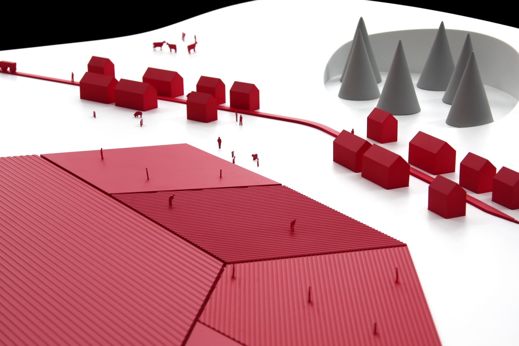
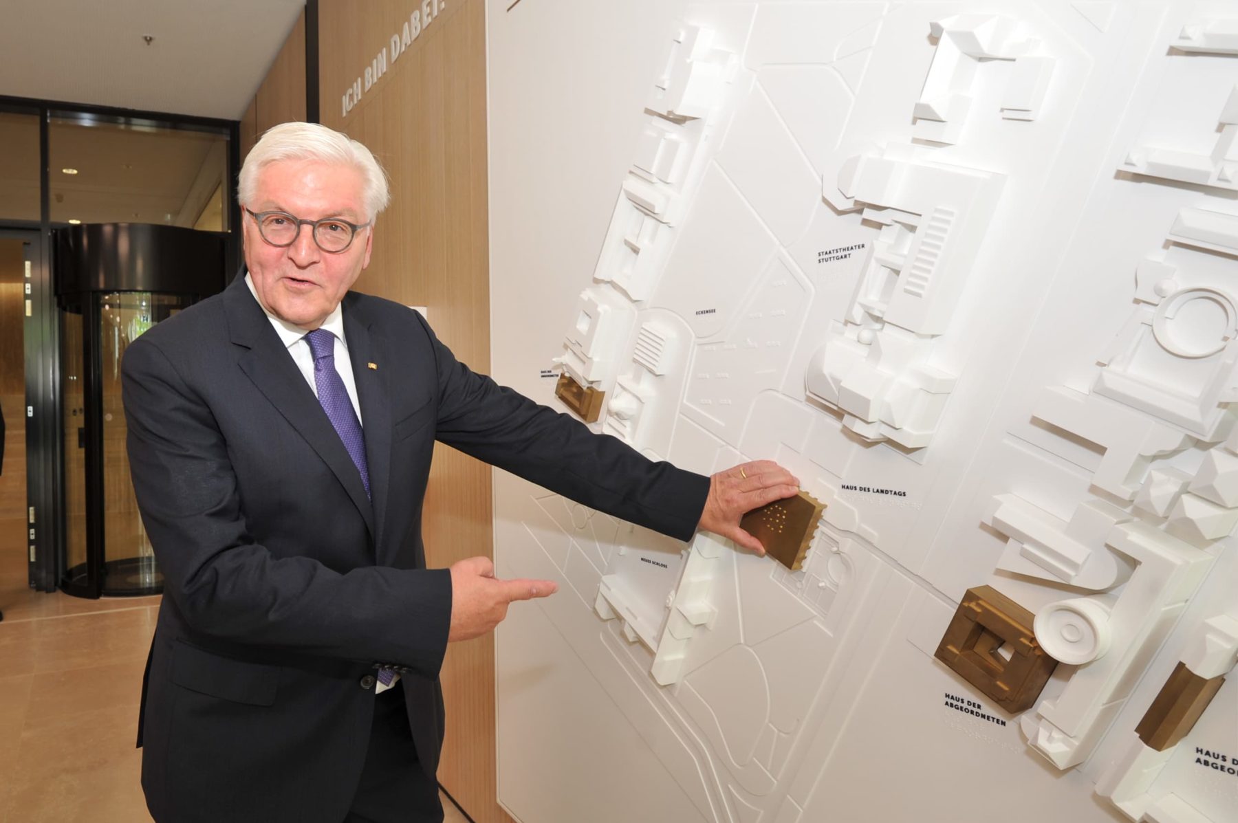
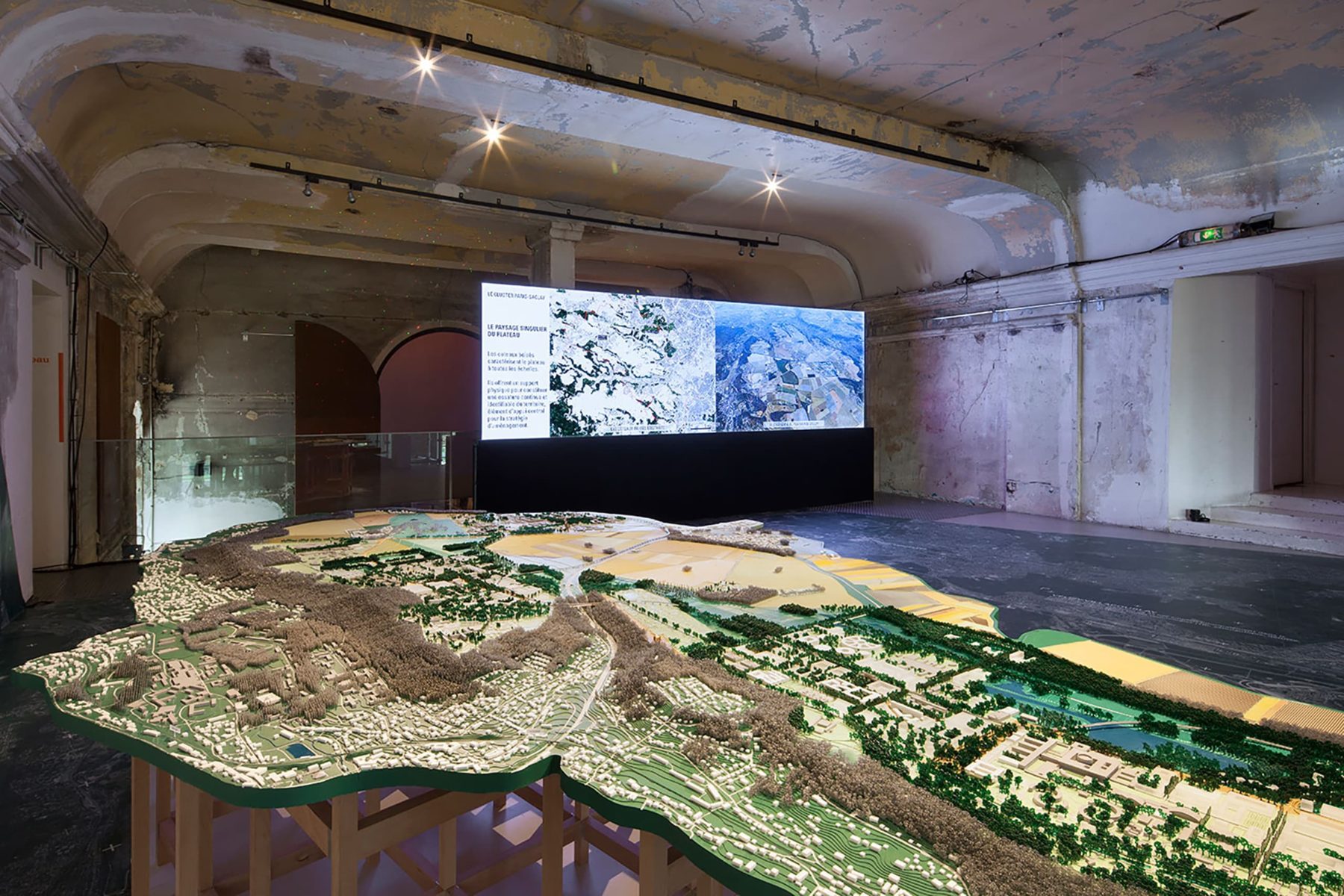
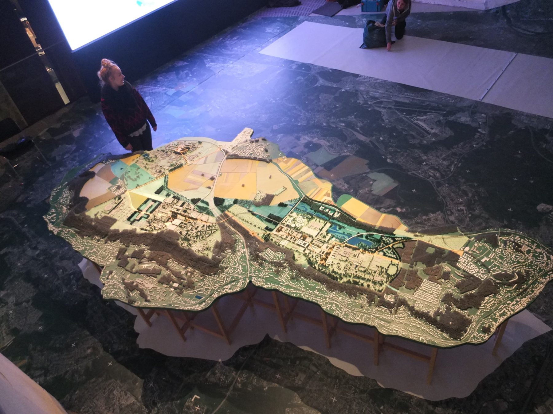
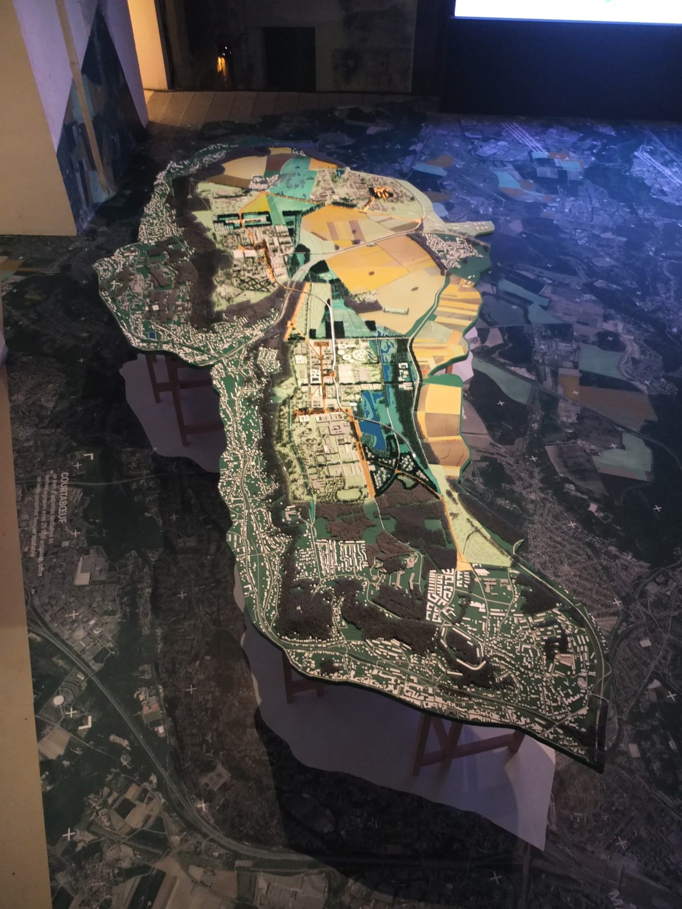
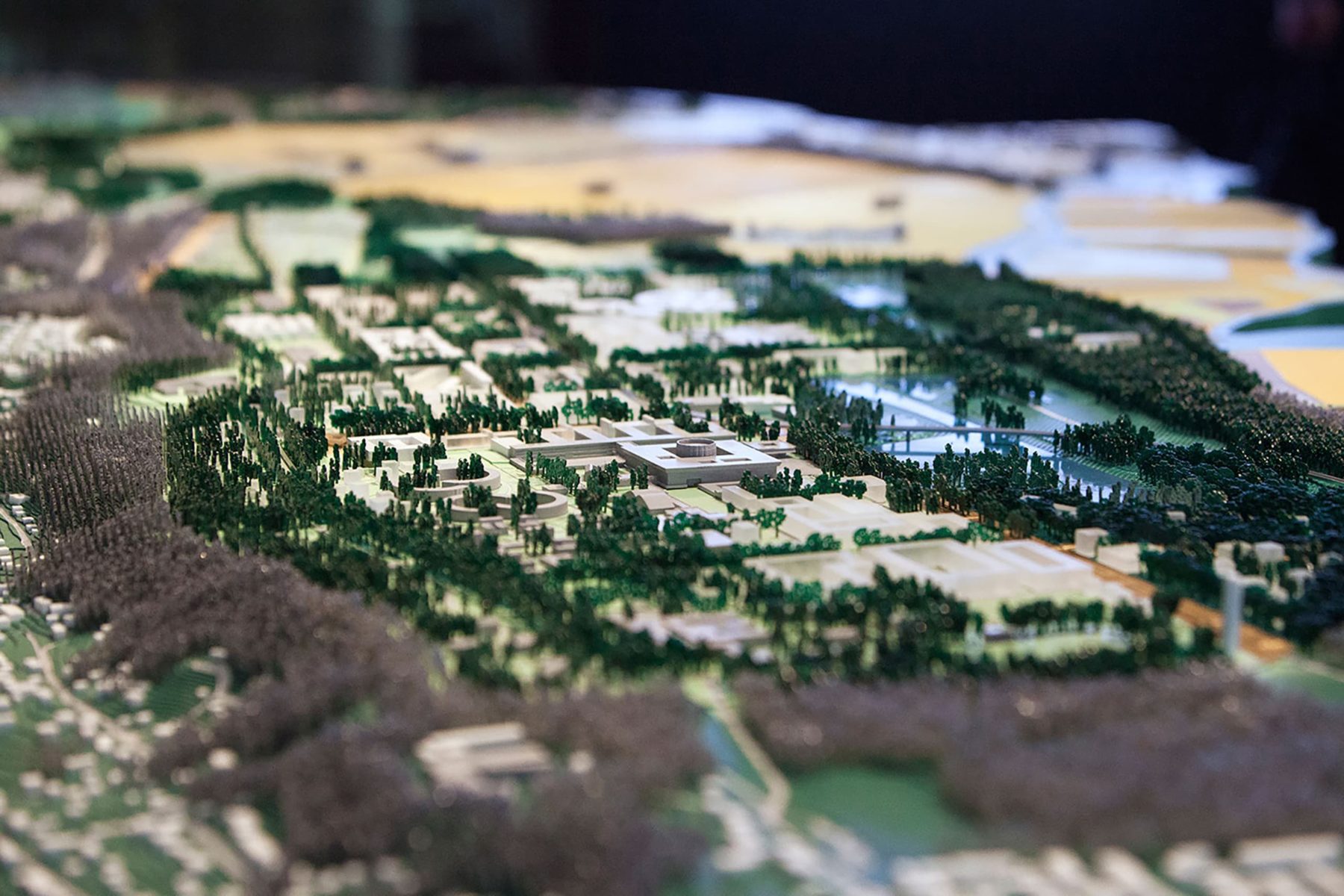
XDGA Paris Saclay

Topographiemodell Paris Saclay, XDGA

The campus as an archipelago

Research facilities and universities will be linked by public spaces and parks and harmoniously embedded in the existing landscape to develop the area into an internationally leading cluster for technology and science.

In 2014, the client decided to present the project to the public in an exhibition, for which XDGA designed the scenography.

If one wanted to show the entire 385 km² area of the Paris Saclay Master Plan at a scale of 1:2000, the model would be a good 20 m tall. At a smaller scale, trees and buildings would shrink beyond recognition. So we limited ourselves to a core area of 100 km² to keep the interplay of landscape, traffic routes and architecture vivid.