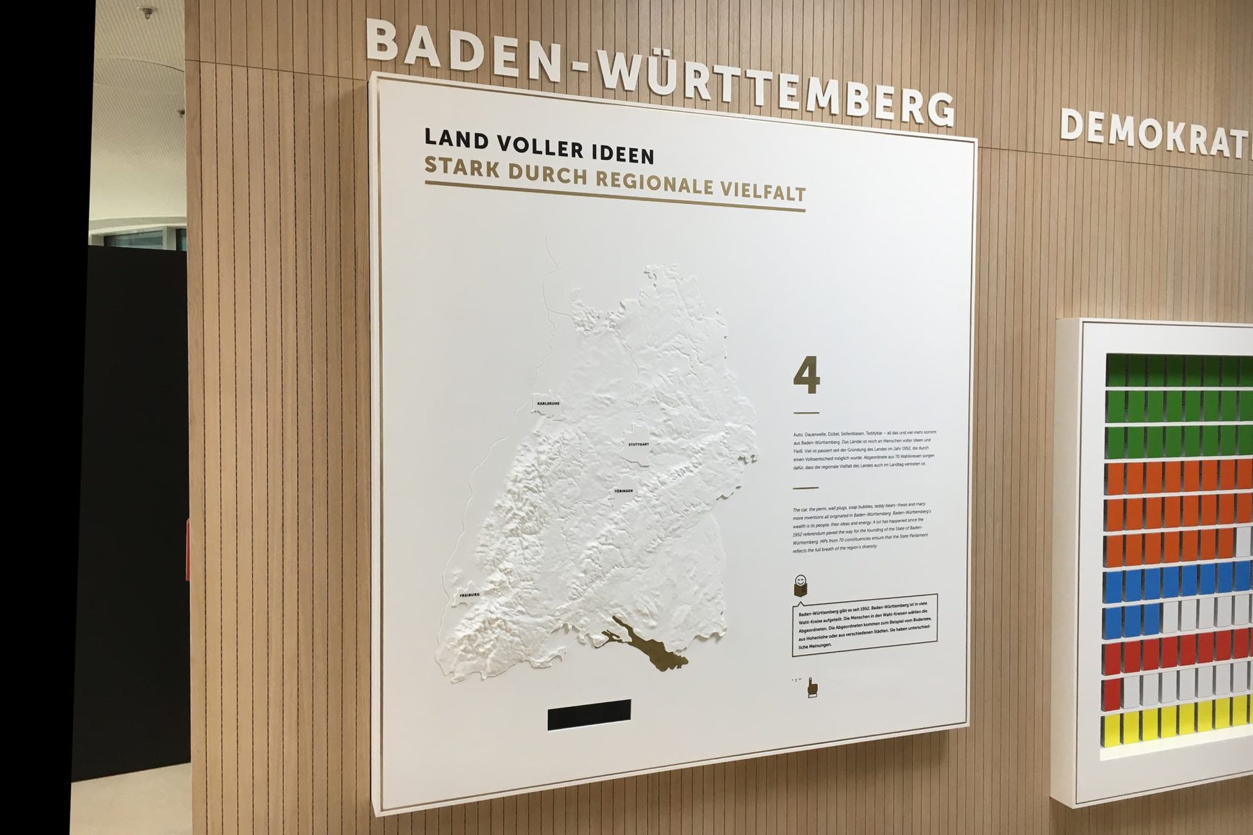
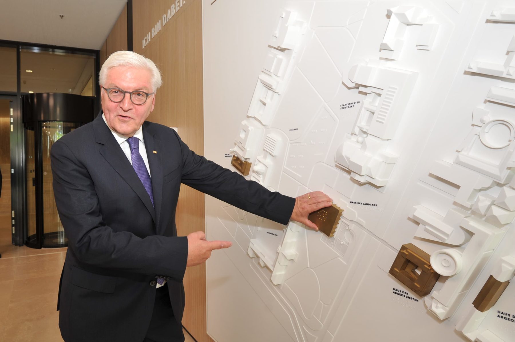
Ways of shaping the form

Topographiemodell Paris Saclay, XDGA

With the Right Scale You Always Keep the Overview

If one wanted to show the entire 385 km² area of the Paris Saclay Master Plan at a scale of 1:2000, the model would be a good 20 m tall. At a smaller scale, trees and buildings would shrink beyond recognition. So we limited ourselves to a core area of 100 km² to keep the interplay of landscape, traffic routes and architecture vivid.

The size of the model remains imposing: thousands of acrylic trees, individually assembled by hand, grow on 5 metres.

In einem alten Raum steht im Vordergrund das Topografiemodell Paris Saclay im Maßstab 1:2000 aus dem Jahr 2014, gebaut von werk5 für XDGA. Im Hintergund sieht man eine große Leinwand auf der das Projekt vorgestellt wird.

Tactile Exploration of Topographical Information

With a barrier-free, tactile model on a scale of 1:250,000 Baden-Württemberg shows the advantages of the diversity of its landscape.

The cool elegance  and the perfect hygienic characteristics make Corian® the ideal material. From the mountainous southwest to the Stuttgart basin, it flatters the hands of visitors of the exhibition at the Citizens’ and Media Centre in the Stuttgart State Parliament.

Basis for Interactive Exhibits With Front Projection

With a topography model on a scale of 1:65,000, all aircraft movements in Switzerland are displayed in real time on the 3.50 m x 2.00 m 3D relief in the Swiss Museum of Transport. Visitors can retrieve further information via a monitor – and even see everything when standing in the third row.

We find the right scale for your project without losing important information through scaling. Send us your request!
  • 2D plans with elevation contours / lines
  • 3D point clouds
  • 3D point clouds
  • already modelled original templates for 3D scanning

… or you simply tell us which map section we should use and we will get the geodata for you.